GMC Digital Maps
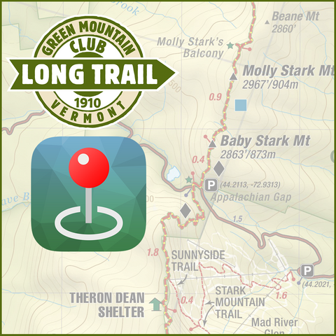
The Green Mountain Club map page on Avenza
No network connection is needed to use these maps in the backcountry. All maps are georeferenced, allowing GPS on your mobile device to pinpoint your location on the map as you go. Other features include seeing your exact GPS coordinates at anytime, selecting a distant location to see how far away it is, marking places of interest, recording GPS tracks, plotting your geotagged photos on the maps, and more!
Download the free Avenza Map App then visit The Green Mountain Club map page on the Avenza Maps website for our complete catalog, or follow the links below to purchase.
For more information on Avenza Maps, visit their support center.
Disclaimer: You will be leaving the Green Mountain Club website to complete the purchase.
Please note that GMC strongly recommends always having a paper map and compass in the backcountry. Digital devices may fail due to batteries dying, getting wet or broken, etc, and should only be used as an addition to paper maps.
|
This map combined with the Long Trail Guide and End-to-Ender’s Guide provide the most comprehensive resource to plan and hike on the Long Trail. The map includes elevation profiles, up-to-date information about shelter and trail locations, and mileages. |
|
|
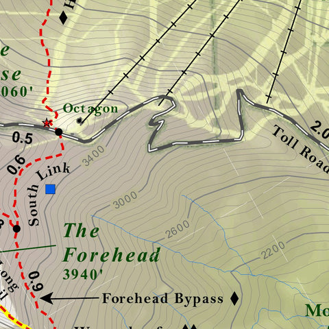
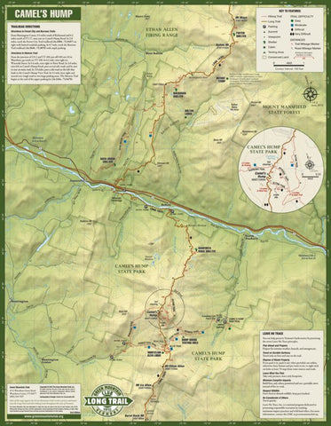
Camel's Hump and the Monroe Skyline Hiking Trail Map 2nd Edition |
This new edition covers the Long Trail and side trails from Bolton Mountain south to Sunset Ledge. It includes trails to the summit of Camel's Hump, Vermont's third highest peak, Mount Abraham and the new Winooski River Footbridge. The map also includes the GPS coordinates for all trailhead parking lots. |
|
This map highlights the Killington Area. The map includes directions to trailheads, trail mileages, and trail difficulty ratings. |
|
|
This map highlights the Manchester area in southwestern Vermont with wonderful hikes for all abilities to mountaintops, scenic ponds and beautiful waterfalls. The map covers Stratton, Bromley, and Equinox Mountains, and Stratton and Little Rock Ponds, and includes directions to trailheads, trail mileages, and difficulty ratings. |
|
|
Updated and revised 5th Edition of our full-color map of the many trails on Mount Mansfield, Vermont’s highest peak. This edition includes the Long Trail relocation through Smugglers Notch. Also included are the hiking trails of the beautiful Worcester Range, including Stowe Pinnacle and Mt. Hunger as well as directions to trailheads and trail difficulty ratings. This new edition now includes Mt. Elmore. |
|
|
New map of the excellent hiking in the Northeast Kingdom of Vermont! This map has been updated to include the new Kingdom Heritage Trail on Middle Mountain and Bluff Ridge and the trail relocation on Wheeler Mountain. It also includes trails around Lake Willoughby and Wheeler Pond, plus Burke, Gore, Monadnock (VT), Bluff, Brousseau, and Averill Mountains. The map includes directions to trailheads and trail difficulty ratings. |
We Also Recommend