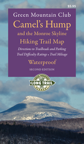
Camel's Hump and the Monroe Skyline Hiking Map 2nd Edition: Waterproof
Camel's Hump and the Monroe Skyline Waterproof hiking map, 2nd edition, 2018. This new edition covers the Long Trail and side trails from Bolton Mountain south to Sunset Ledge. It includes trails to the summit of Camel's Hump, Vermont's third highest peak, Mount Abraham and the new Winooski River Footbridge. The map also includes the GPS coordinates for all trailhead parking lots.
Click here for a digital version of this map. Disclaimer: You will be leaving the Green Mountain Club website to complete this purchase.
We Also Recommend